
AERIAL IMAGING AND PHOTOGRAMMETRY
AERIAL IMAGING AND PHOTOGRAMMETRY
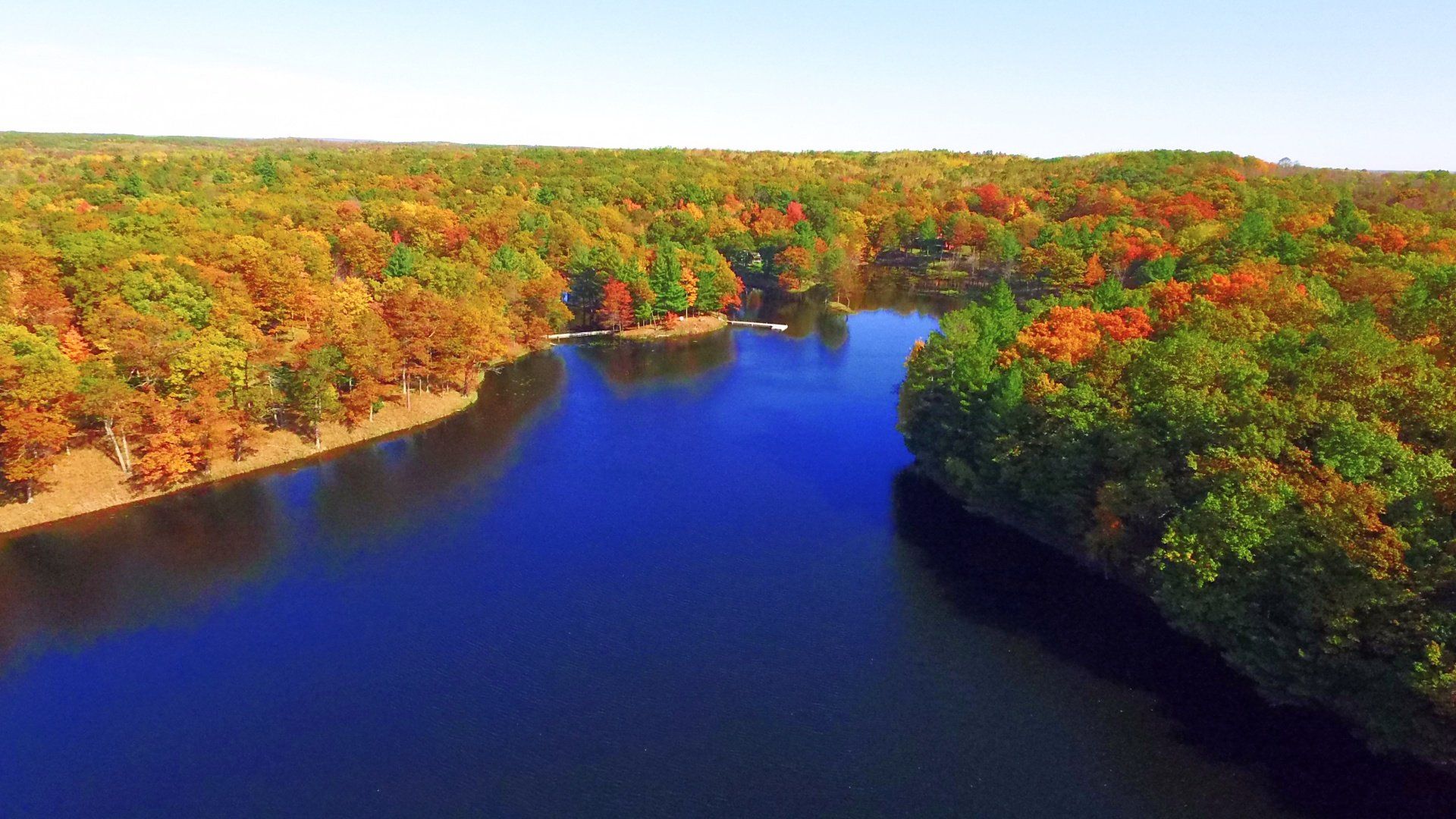
Beautiful video for marketing, elevation images, 3D renderings and more.
Save Time & Money
Save Time & Money
Drone imaging is more efficient & affordable than traditional aerial platforms. Photogrammetry can produce your data in hours rather than days at a fraction of the cost.
Improve Your Results
Improve Your Results
Aerial photos and video can help real estate sell faster, for a higher price. Composite imagery can monitor construction progress, estimate materials and saves money on surveying and time on site.
Safe & Legal
Safe & Legal
Dahlhouse Enterprises LLC only uses FAA Part 107 pilots and maintains impeccable safety standards. We can insure our services to a level to meet your needs.
($1 million minimum)
Residential, Commercial, Agricultural
From capturing nature's beauty to construction progress or aerial measurements.

Services
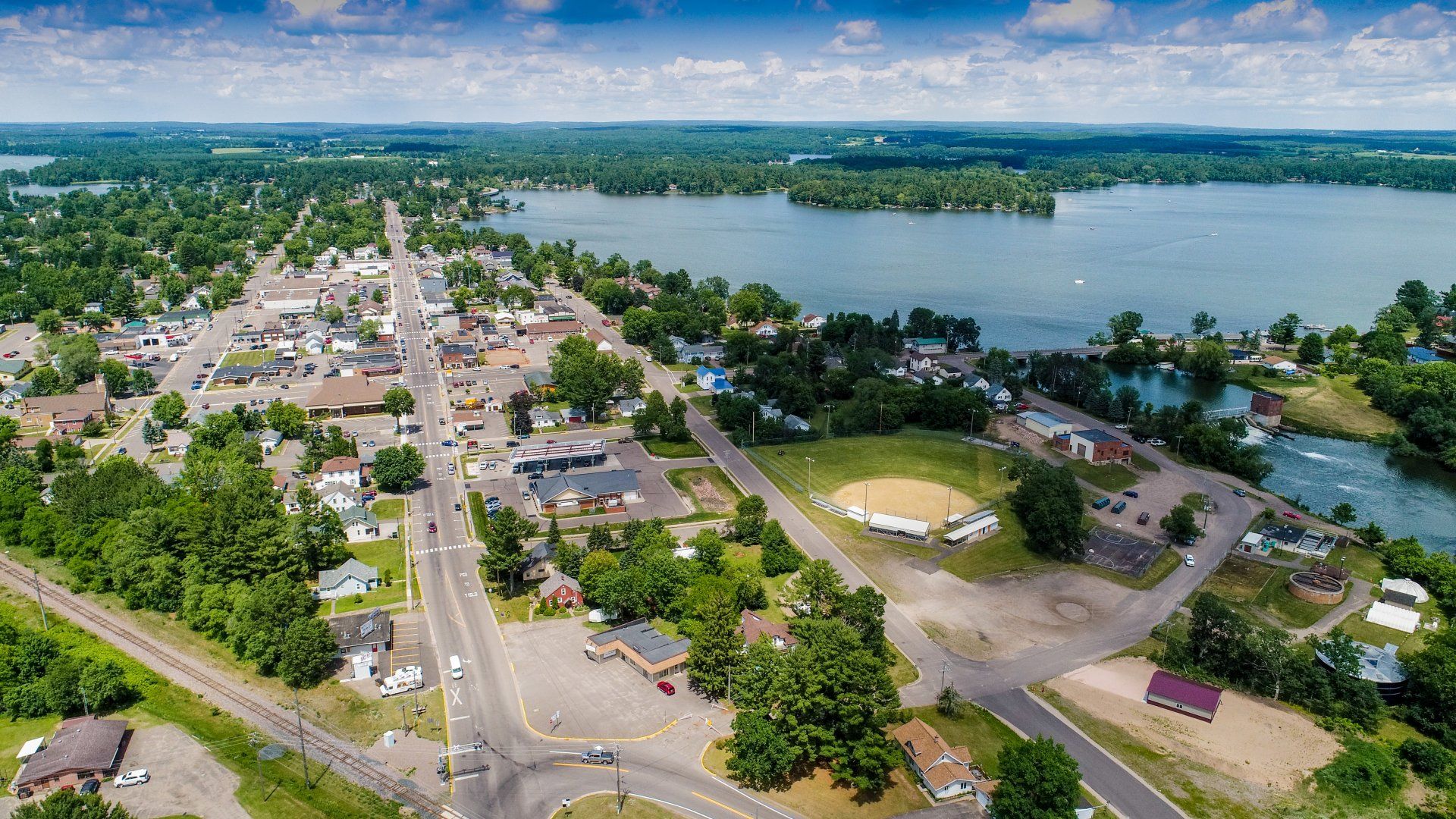
Aerial Imaging
Whether you're looking for photos, videos, or both, we can capture, edit and deliver high resolution images for your business.
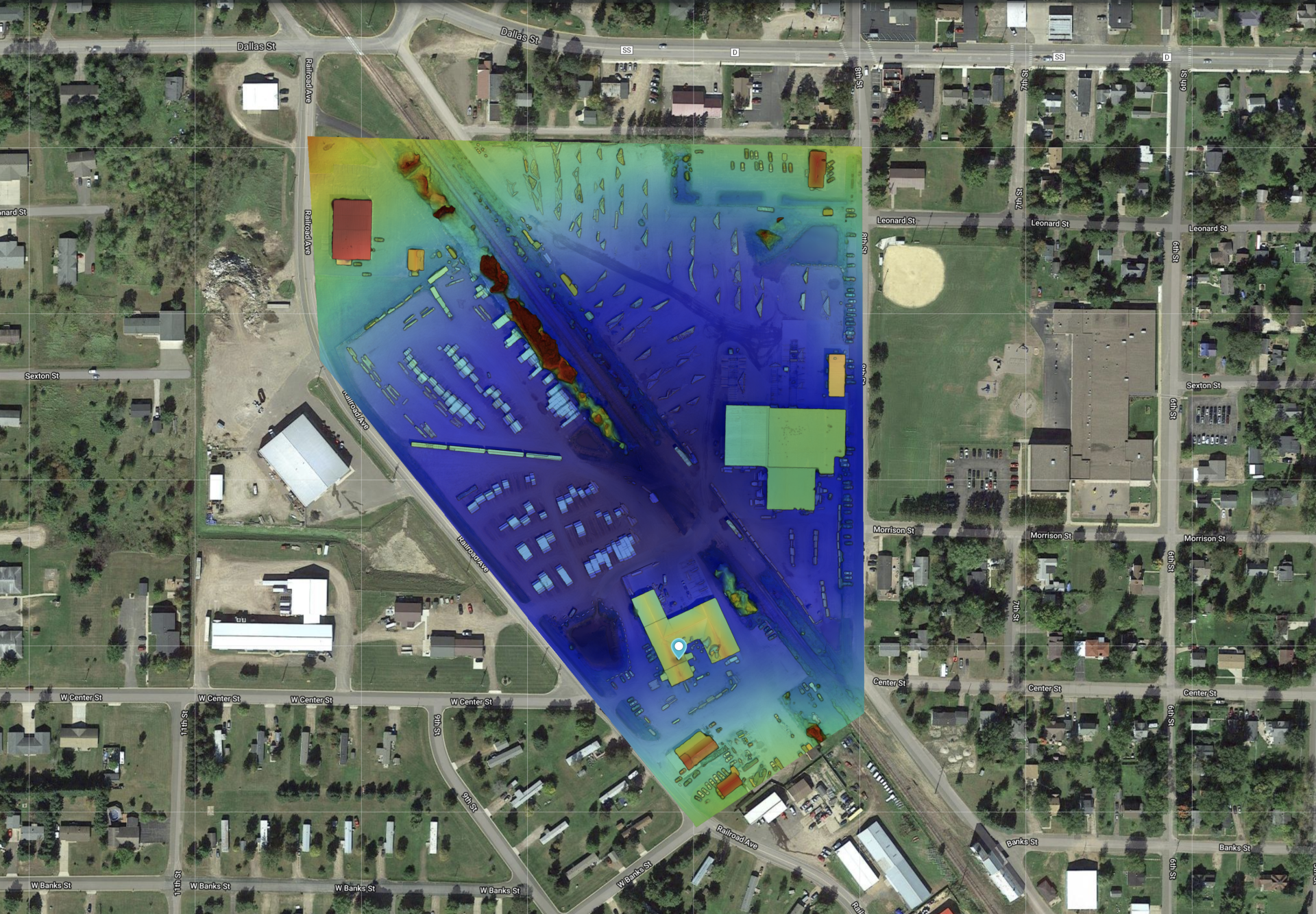
Drone Photogrammetry
Find out how your company can save time and money over survey/mapping services. Quickly and affordably get up to date Orthomosiac images, 3D renderings, progress information and more
Data Processing
We'll complete your project with the specific deliverables to meet your specific needs including promotional videos, volumetric calculations, distance/area measurements, cut & fill, and pre/post documentation.
Interested in our services? We’re here to help!
Interested in our services? We’re here to help!
We want to know your needs exactly so that we can provide the perfect solution. Let us know what you want and we’ll do our best to help.